Nha Rong Wharf on the bank of the Saigon River. VNA Photo
Modern urban areas along the banks of the Saigon River. VNA Photo
Ho Chi Minh City shining brightly at night along the banks of the Saigon River. VNA Photo
Ho Chi Minh City along the banks of the Saigon River. VNA Photo
Modern urban areas along the banks of the Saigon River. VNA Photo
Ho Chi Minh City along the banks of the Saigon River. VNA Photo
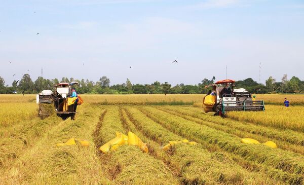
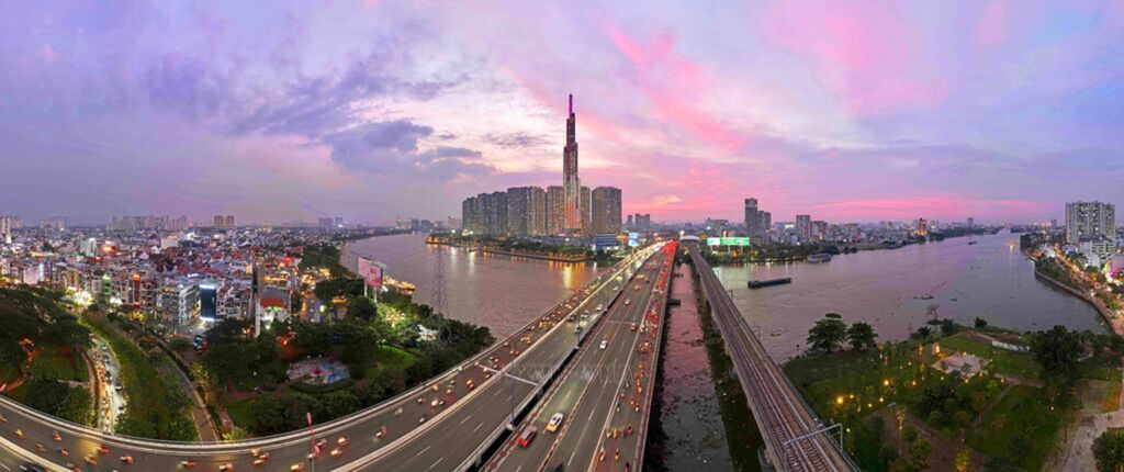
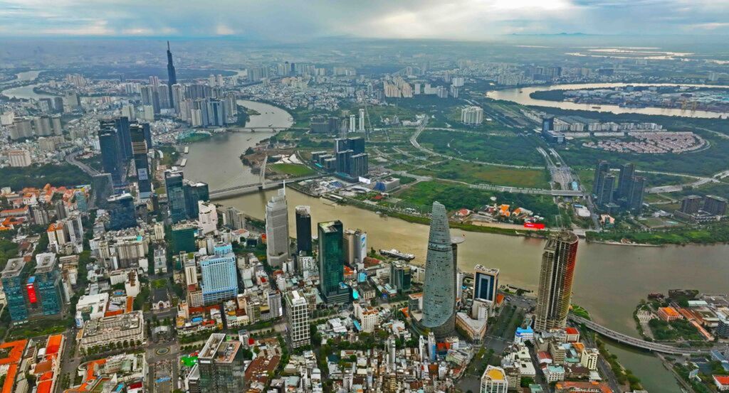
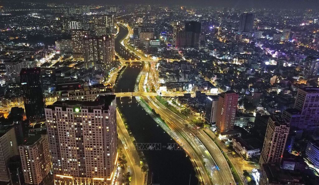
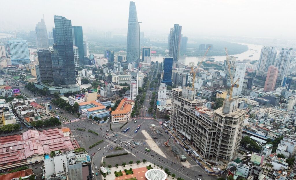
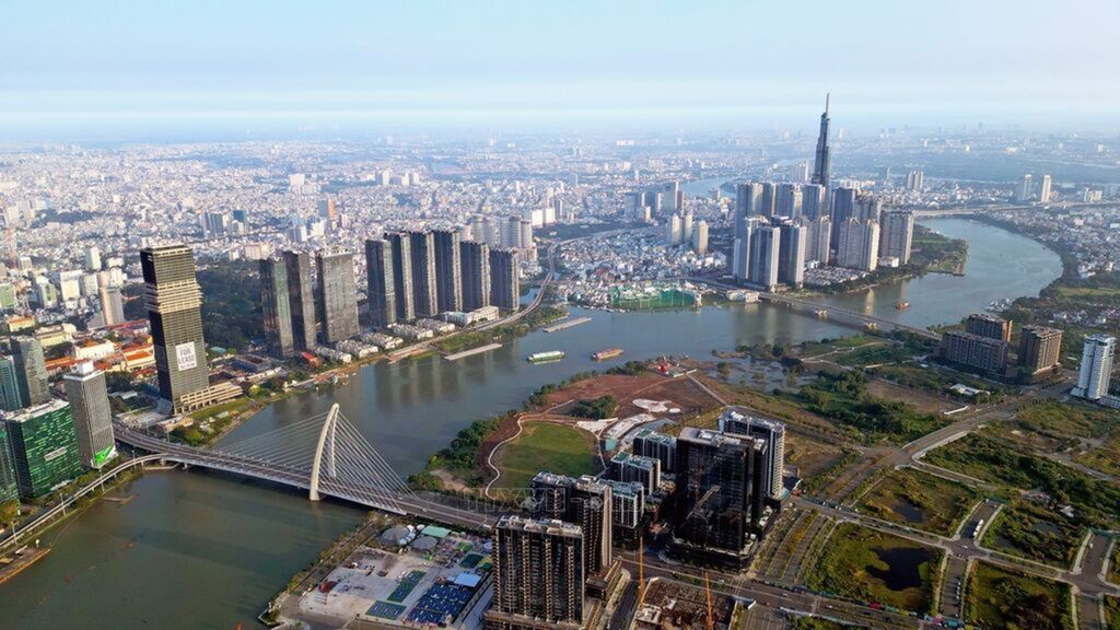
A green city by Saigon river
Throughout its over 300-year history of formation and development, Saigon - Gia Dinh - Ho Chi Minh City has always been closely connected to waterways, particularly the Saigon River. Along this river are Binh Dong Wharf, Bach Dang Wharf, and Nha Rong Wharf in the city center, and a network of crisscrossing canals running throughout the city. VNA Photo