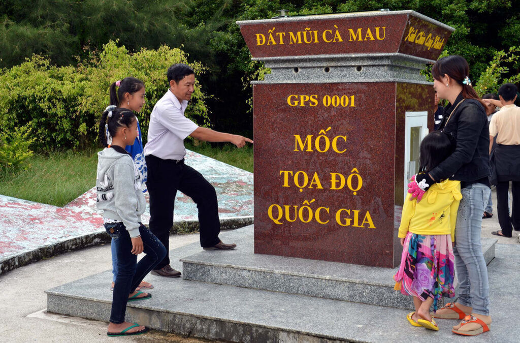
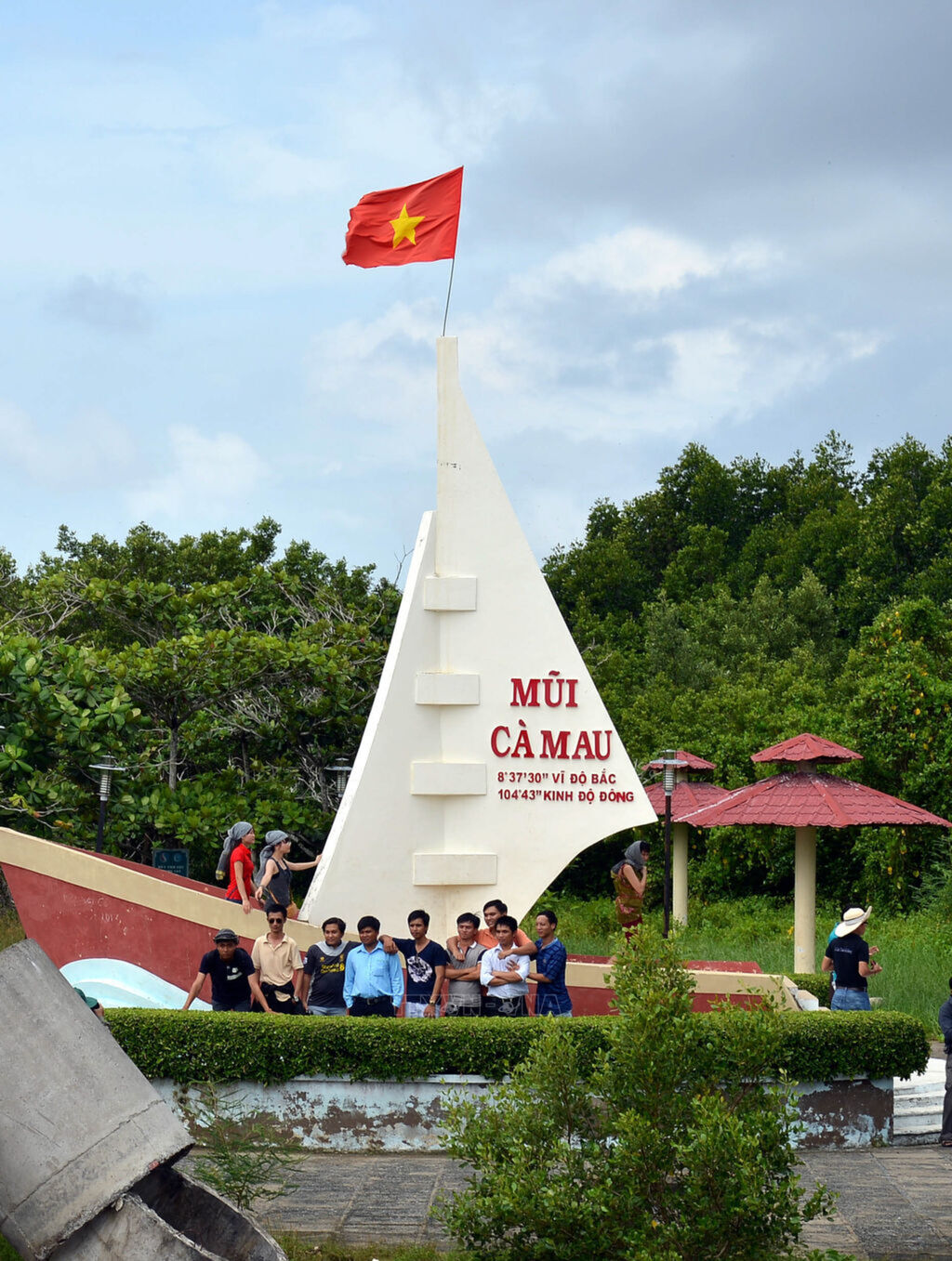
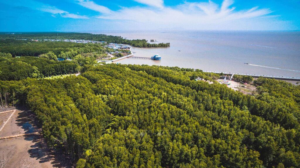
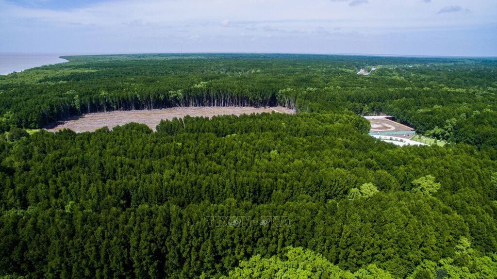
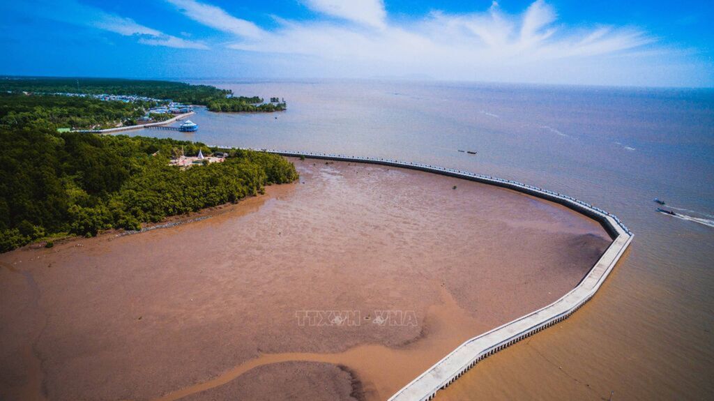
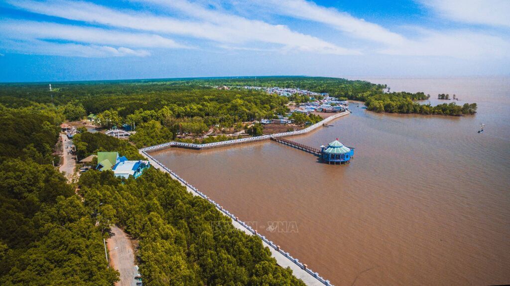
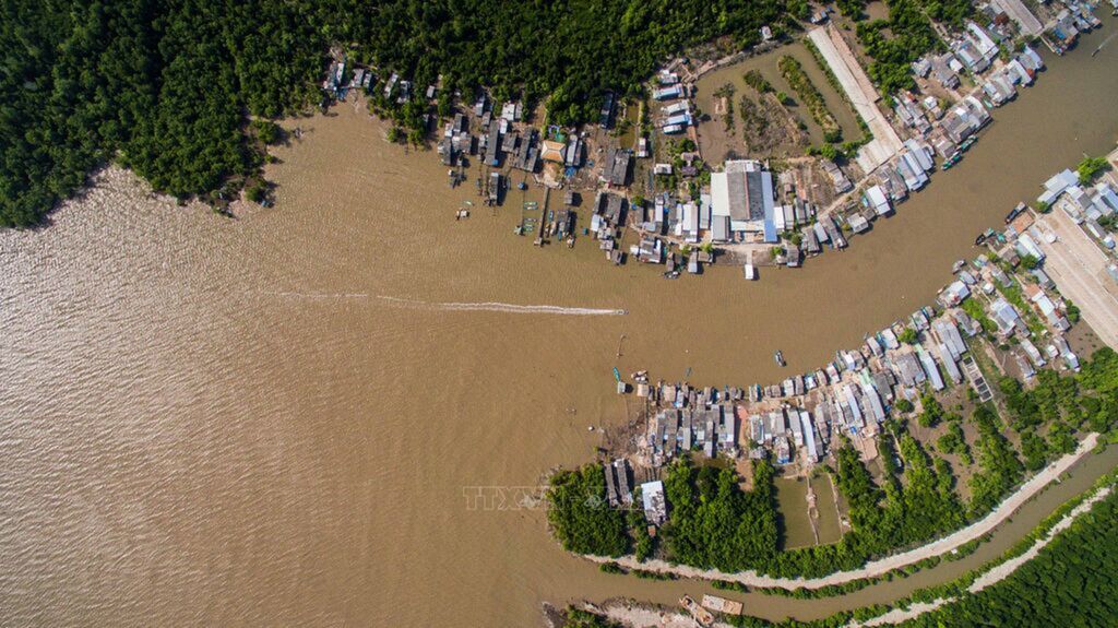
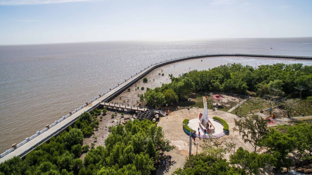
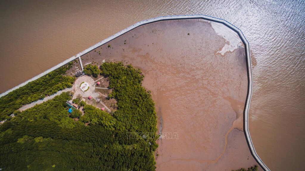
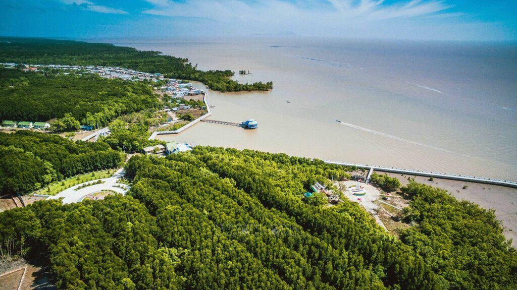
National coordinate marker at Ca Mau Cape GPS number 0001, located at 8°37'30'' North latitude, 104°43' East longitude in Ap Mui, Dat Mui commune, Ngoc Hien district. Photo: Thanh Ha - VNAThe symbol of Ca Mau Cape is the image of a ship facing the East Sea. Photo: Thanh Ha - VNAAn aerial view of Ca Mau Cape National Park. Photo: Trong Dat - VNAAn aerial view of Ca Mau Cape National Park. Photo: Trong Dat - VNAA solid concrete dyke system helps prevent land erosion surrounds Ca Mau Cape National Park. This is the last point of Vietnam's territory, where visitors can watch the sun rise in the East Sea and set in the western sea. Photo: Trong Dat - VNAAn aerial view of Ca Mau Cape National Park. Photo: Trong Dat - VNAA corner of Dat Mui commune, Ngoc Hien district, Ca Mau Cape National Park. Photo: Trong Dat - VNANational coordinate marker at Ca Mau Cape GPS number 0001, located at 8°37'30'' North latitude, 104°43' East longitude in Ap Mui, Dat Mui commune, Ngoc Hien district. Photo: Trong Dat – VNANational coordinate marker at Ca Mau Cape GPS number 0001, located at 8°37'30'' North latitude, 104°43' East longitude in Ap Mui, Dat Mui commune, Ngoc Hien district. Photo: Trong Dat – VNAAn aerial view of Ca Mau Cape National Park. Photo: Trong Dat - VNA
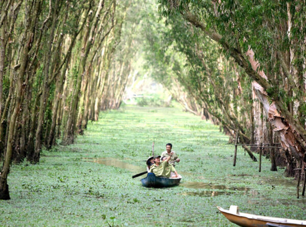
Ca Mau Cape World Biosphere Reserve boasts distinctive values
The Ca Mau Cape World Biosphere Reserve covers a total area
of over 41,000 hectares. Its recognition as a World Biosphere Reserve has
significantly contributed to the conservation of the biodiversity of its
mangrove ecosystem and the preservation of cultural values to serve sustainable
development goals. VNA Photo