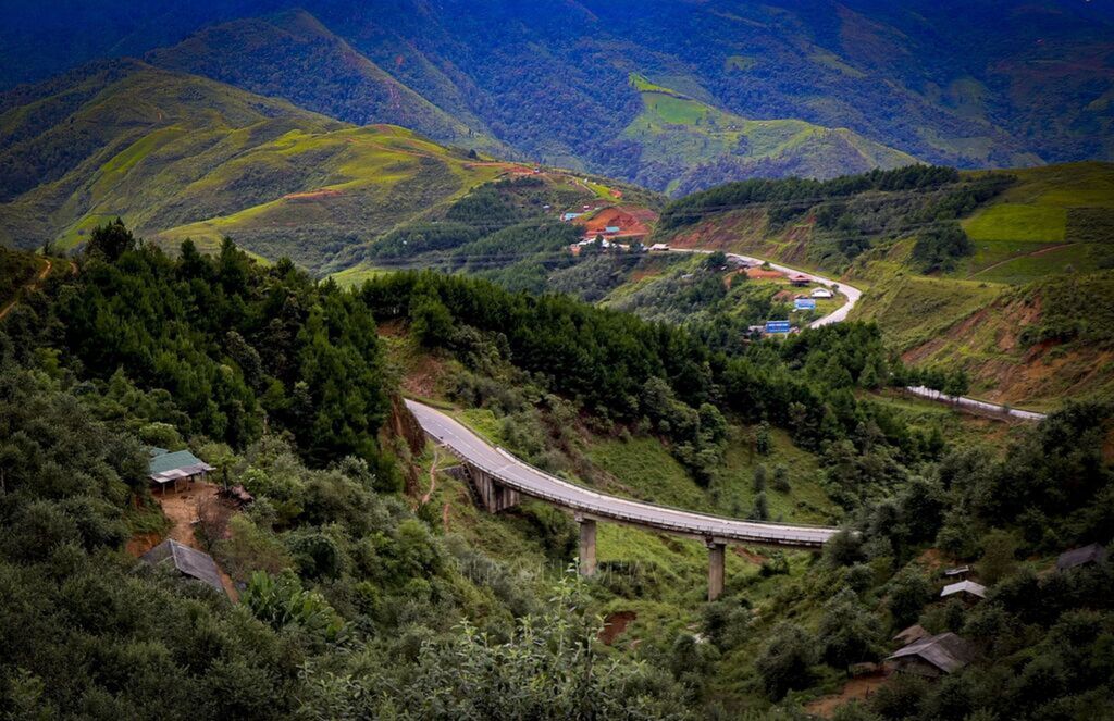
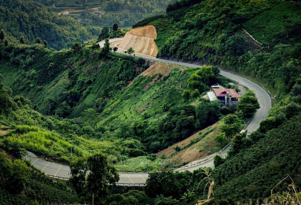
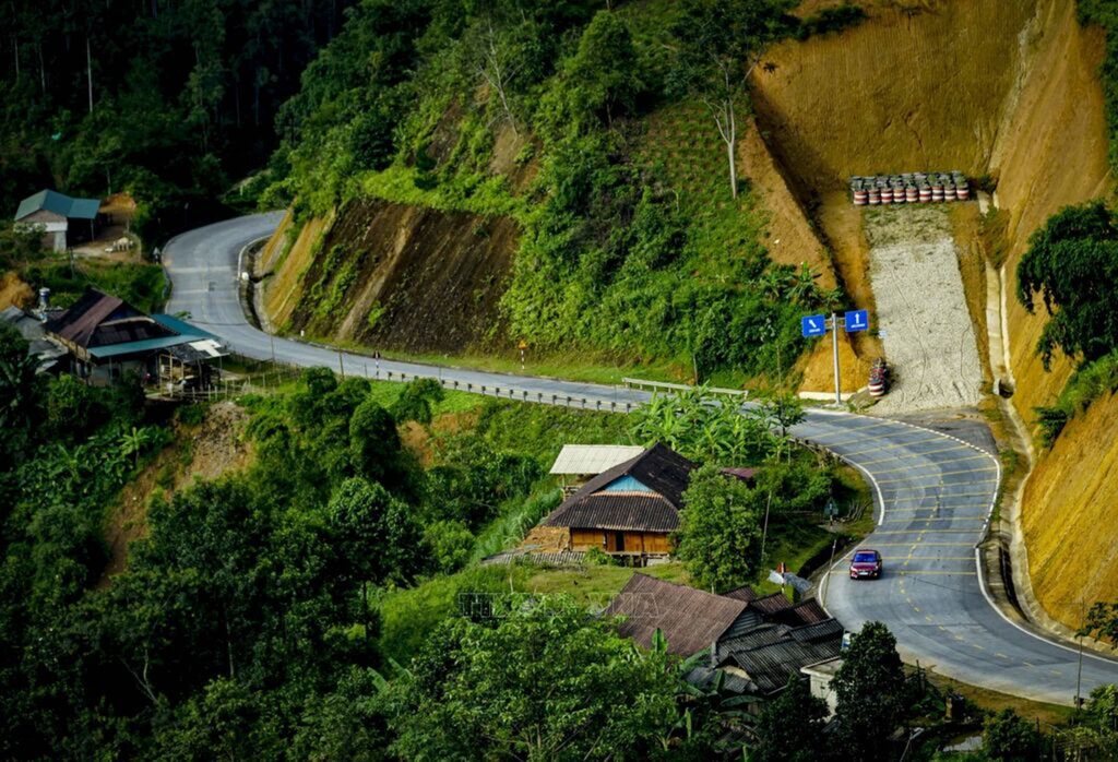
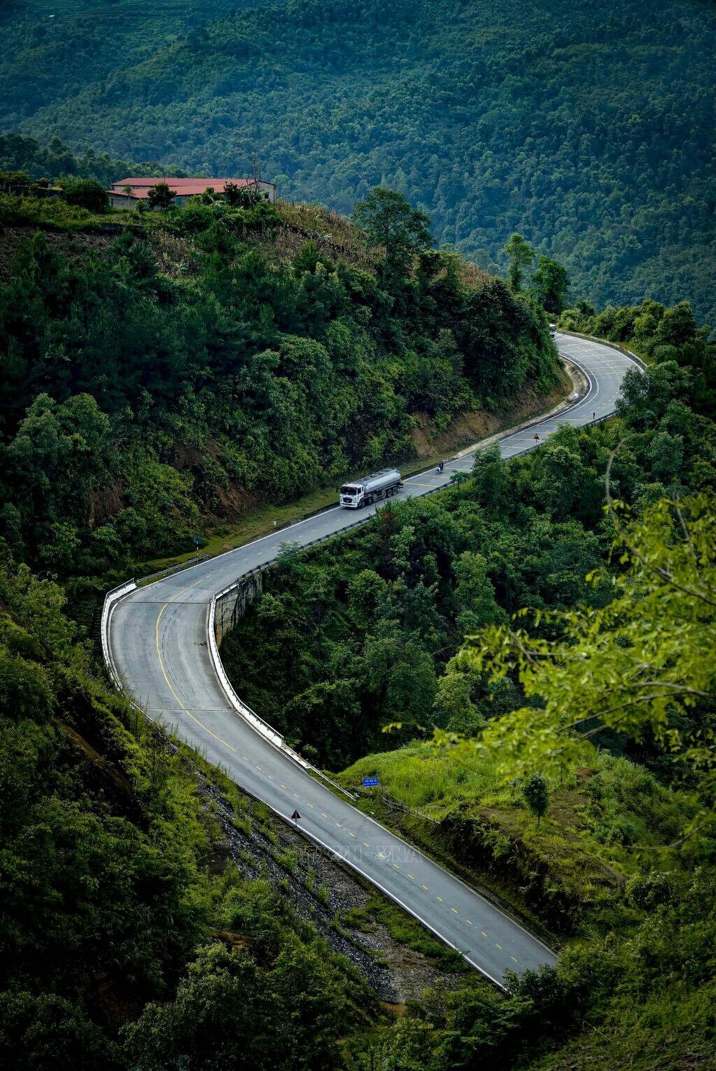
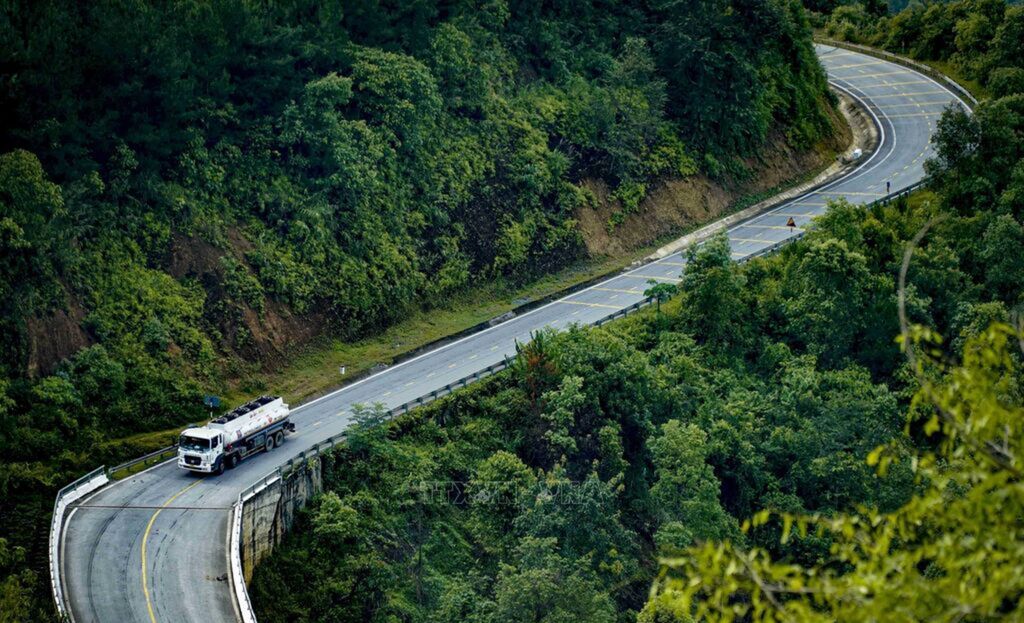
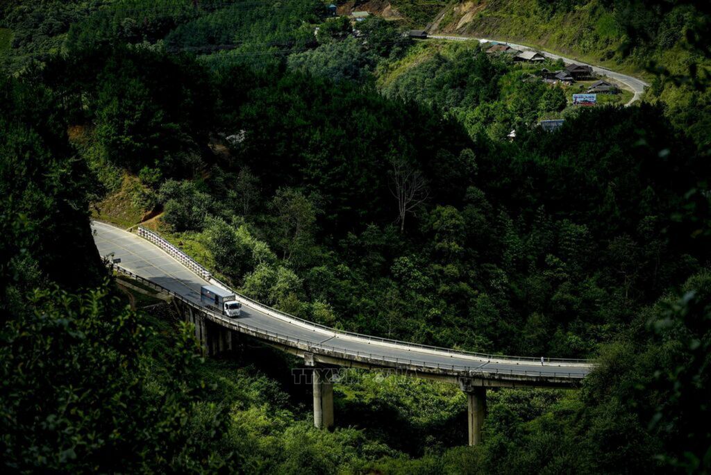
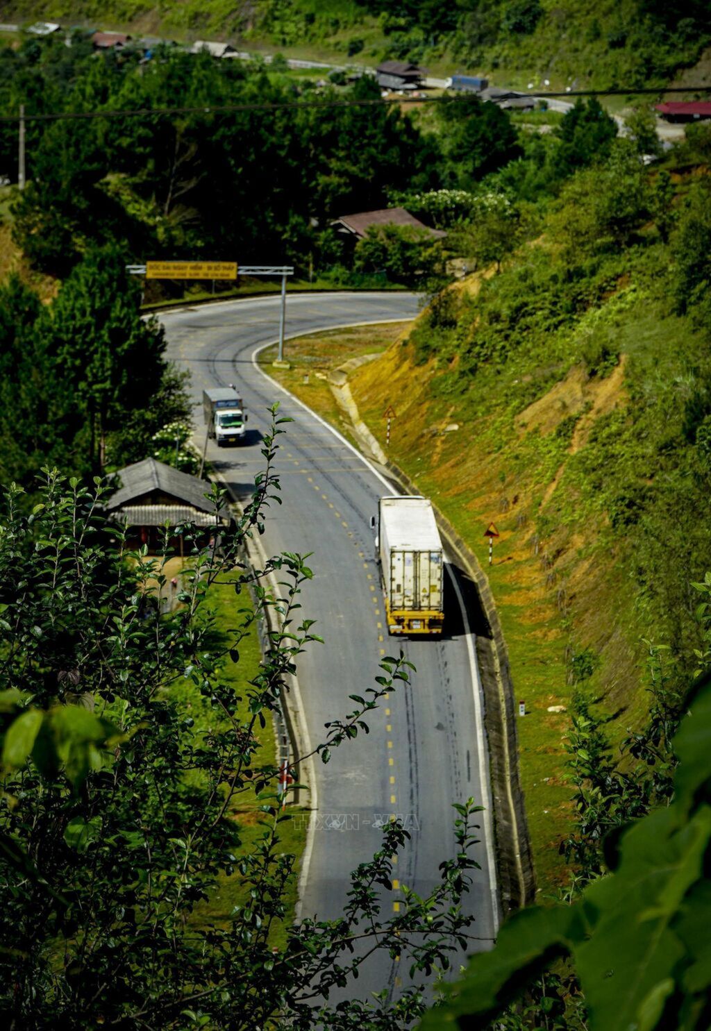
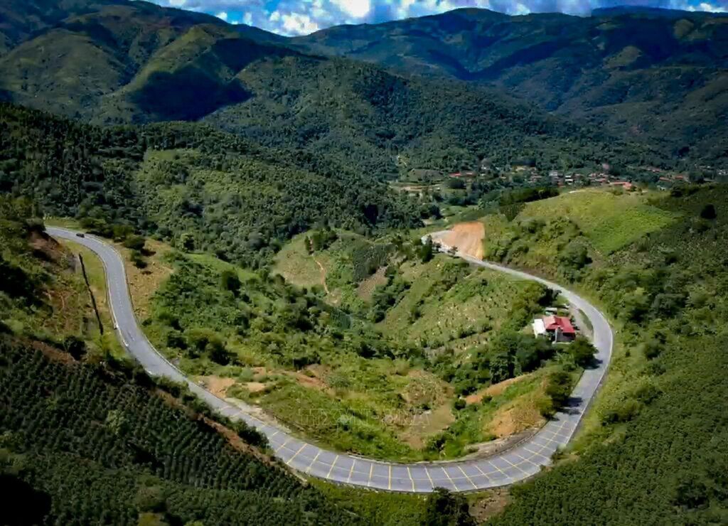
The highest point of the pass is 1648m above sea level. The terrain of the mountain is very dangerous, uneven, one side is steep and one is deep. Photo: Xuan Tu – VNAThe highest point of the pass is 1648m above sea level. The terrain of the mountain is very dangerous, uneven, one side is steep and one is deep. Photo: Xuan Tu – VNAThe highest point of the pass is 1648m above sea level. The terrain of the mountain is very dangerous, uneven, one side is steep and one is deep. Photo: Xuan Tu – VNAChallenging is because, Pha Din is also a pass with a great slope from 12% to 19%. The Pass has a total length of 32km. Photo: Xuan Tu – VNAChallenging is because, Pha Din is also a pass with a great slope from 12% to 19%. The Pass has a total length of 32km. Photo: Xuan Tu – VNAThe highest point of the pass is 1648m above sea level. The terrain of the mountain is very dangerous, uneven, one side is steep and one is deep. Photo: Xuan Tu – VNAChallenging is because, Pha Din is also a pass with a great slope from 12% to 19%. The Pass has a total length of 32km. Photo: Xuan Tu – VNAThe highest point of the pass is 1648m above sea level. The terrain of the mountain is very dangerous, uneven, one side is steep and one is deep. Photo: Xuan Tu – VNA
Pha Din Pass, one of the four great peaks of the Northwest region
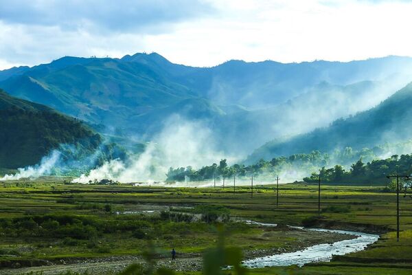
Pha Din Pass is one of the four great peaks of the Northwestregion along with 3 passes of legendary O Quy Ho, Khau Pha and Ma Pi Leng. It'sone of the most highlight tour to Dien Bien Phu Vietnam. In the local language,Pha Din means "heaven and earth", also a reference to the height ofthis pass. Pha Din Pass has a total length of 32km. It's located on Highway 6,which is divided between Son La and Dien Bien provinces. Photo: Xuan Tu – VNA