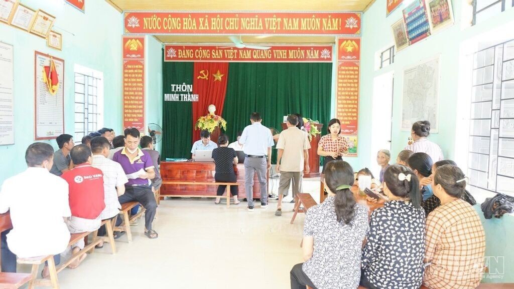
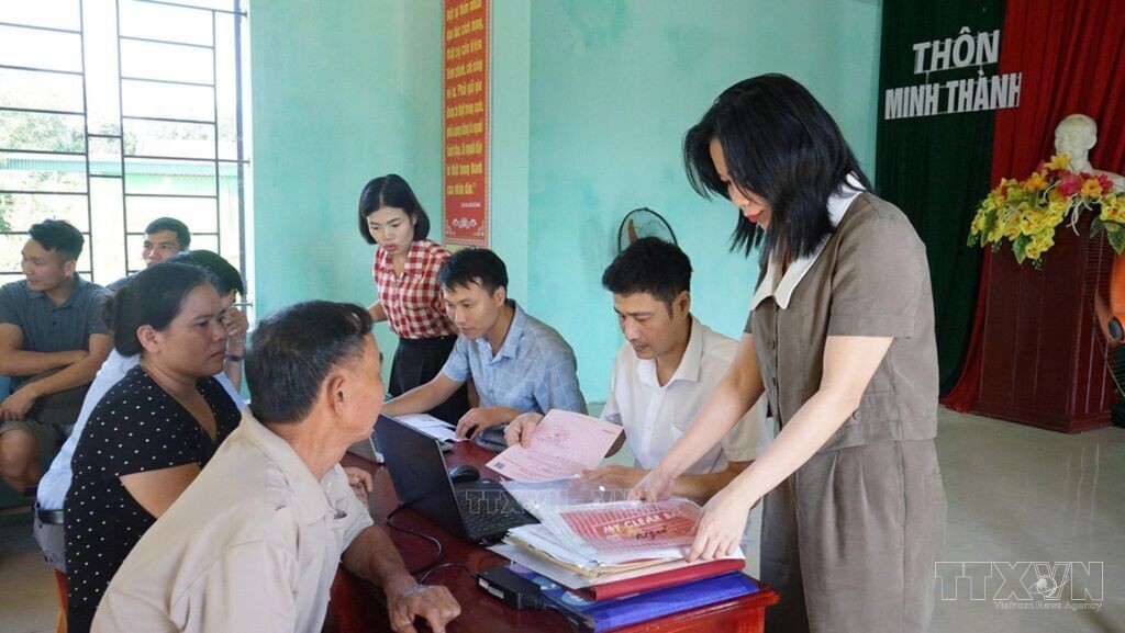
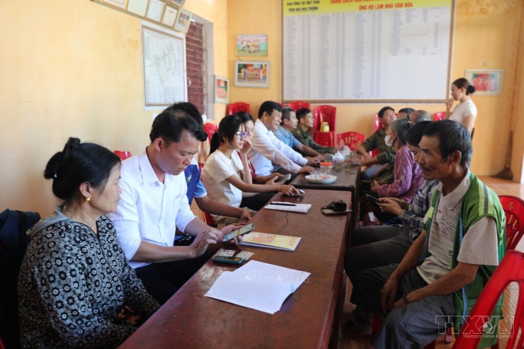
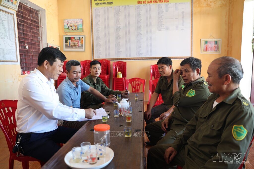
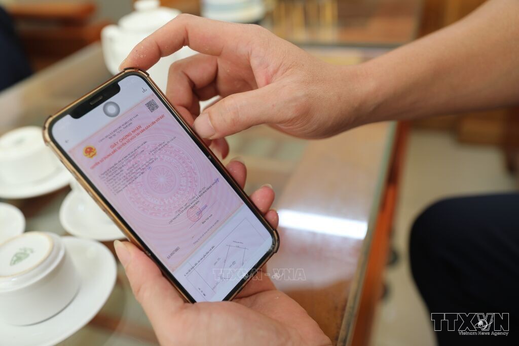
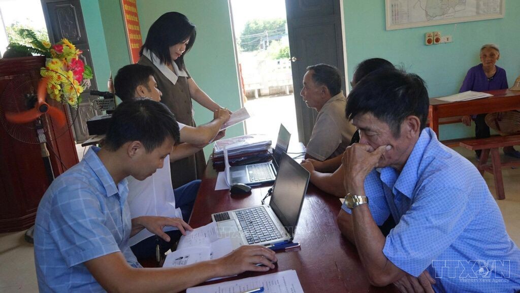
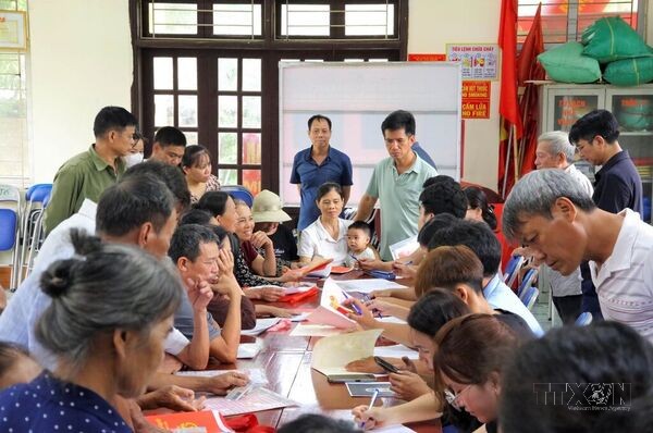
Immediately after the provincial plan was issued, Hop Tien Commune established a Steering Committee and working groups, assigning specific tasks to each. The commune also held implementation meetings in the villages, providing guidance on data collection, completing forms and gathering documents related to land-use origins. Photo: Khieu Tu - VNAGuidance on registering and activating Level 2 electronic identification accounts for residents of An Nong Commune, Thanh Hoa Province. Photo: Khieu Tu - VNAThe campaign to enrich and clean the land database in Hop Tien Commune, Thanh Hoa Province, is being carried out by working closely at the grassroots level, reviewing each record and cross-checking each land parcel. Photo: Khieu Tu - VNAWorking groups are operating directly at village cultural houses to explain the purpose and benefits of data integration, while reviewing and compiling information and helping residents complete their records and documentation. Photo: Khieu Tu - VNATo date, An Nong Commune has successfully synchronized data for 32,414 land parcels with VNLIS, including 6,416 parcels synchronized with the Ministry of Public Security's National Population Database. Photo: Khieu Tu - VNAAfter being selected as the first locality in Thanh Hoa Province to pilot the integration of land-use right certificate data into the VNeID application, the An Nong Commune People's Committee consolidated its Steering Committee, developed an implementation plan and established 15 working groups across 15 villages. Photo: Khieu Tu - VNAThe land-use right certificate of Le Thi Ha is updated on VNeID. Photo: Khieu Tu - VNAAs of July 22, 2026, Hop Tien Commune had cleaned data for 39,837 out of 40,827 land parcels, reaching 97.58% against the assigned target of 29,458 parcels. Photo: Khieu Tu - VNALe Thi Ha of An Nong Commune is the first citizen in Thanh Hoa Province to successfully update her land-use right certificate on VNeID. Photo: Khieu Tu - VNA
Thanh Hoa accelerates synchronization of land data with national database system
Communes and wards across Thanh Hoa Province are focusing on
reviewing, cross-checking and standardizing data for each land parcel,
gradually completing the database for synchronization with the National Land
Database System (VNLIS). These efforts have placed Thanh Hoa third among 34
provinces and centrally governed cities nationwide in terms of land data
synchronization and updating, while creating an important foundation for
improving land management and the processing of administrative procedures in
the sector. Photo: Khieu Tu - VNA